New Continental Mapping Tools for Today’s GIS Enthusiast
Online
November 18, 2020
12:30 – 1:30 PM EST
Public
How CEC mapping products can help you think outside the national bounding box
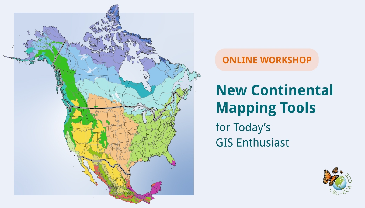
In celebration of GIS day, learn about the North American Environmental Atlas, including a new 2010-2015 land cover change layer that displays landscape changes across the continent at 30-metre resolution. The North American Environmental Atlas combines and harmonizes geospatial data from Canada, Mexico and the United States to allow for a continental and regional perspective on environmental issues.
The workshop will be hosted on Zoom and simultaneous interpretation to Spanish and French will be provided.
Agenda
In this workshop, learn about:
- The CEC’s Environmental Atlas and North American Land Change Monitoring System
- Available mapping products and how to access them
- The new land cover 2010-2015 change product and some key examples of our changing landscape
- The continental data integration process