It might not always seem like it, but #maps play a big role in the lives we lead today. From tracking Uber orders in Montreal to understanding the effect of coastal farming activity in Sinaloa, Mexico– maps help us navigate and understand the world around us.⠀
⠀
Follow along with us every #MapMonday to learn more about the stories and information maps tell us!

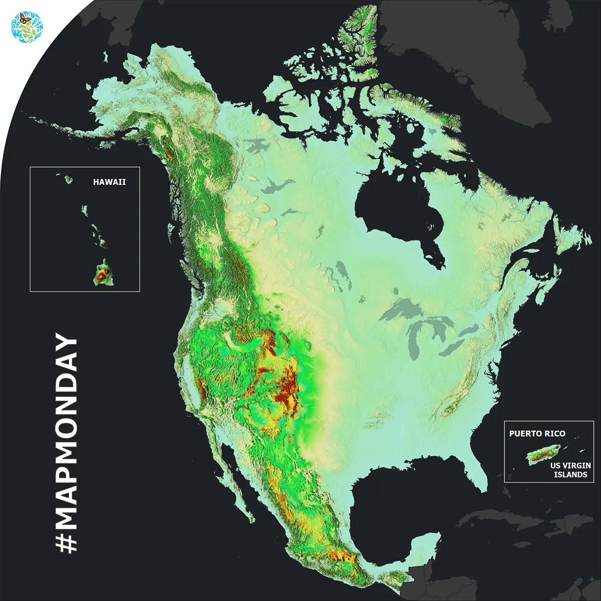
Ecoregions, Land Cover
It’s MapMonday! Did you know that a 2D elevation map can allow you to better...
December, 2023
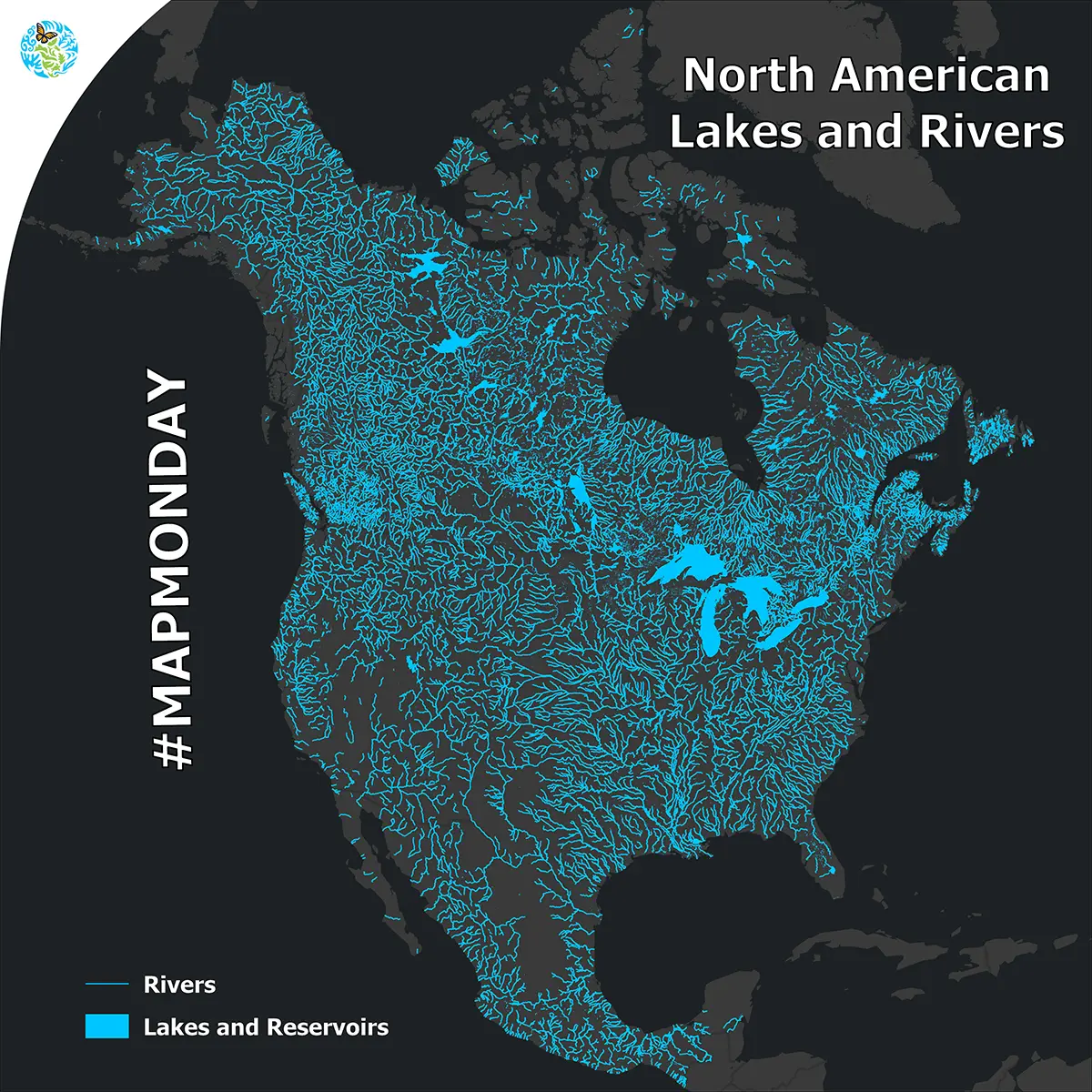
Water
It’s MapMonday! What do the Athabasca River in Canada, the Mississippi River in the United...
November, 2023
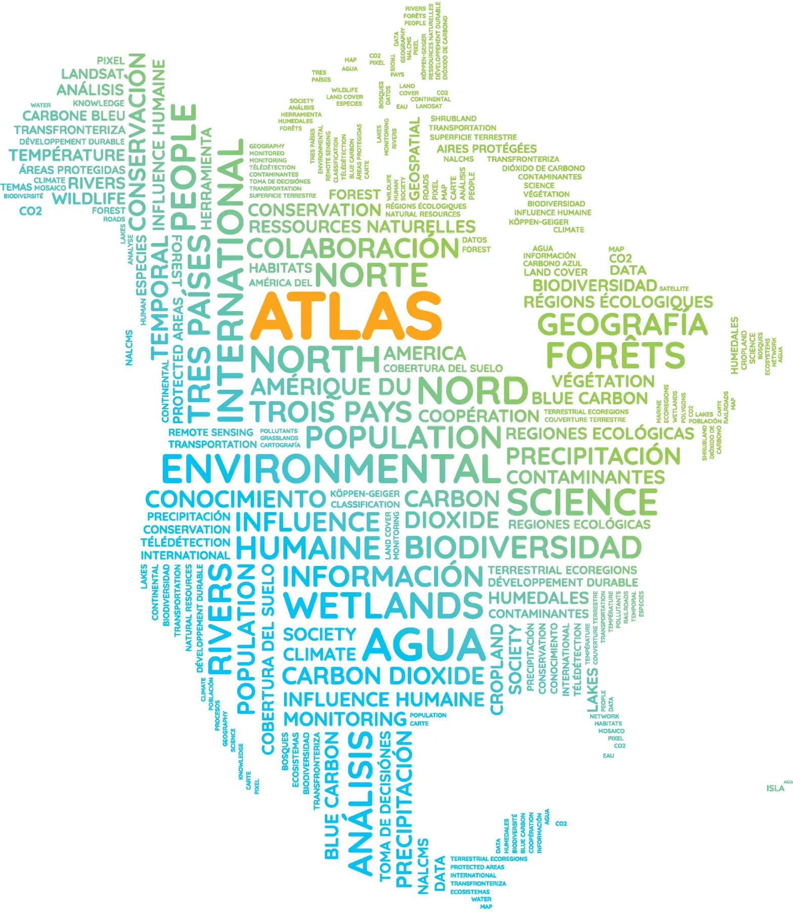
This #MapMonday, dive into the North American Environmental Atlas, a collection of harmonized geospatial data...
October, 2023
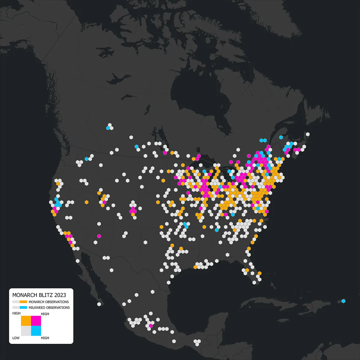
Species
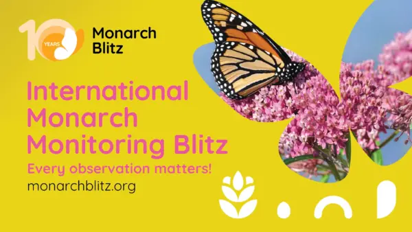
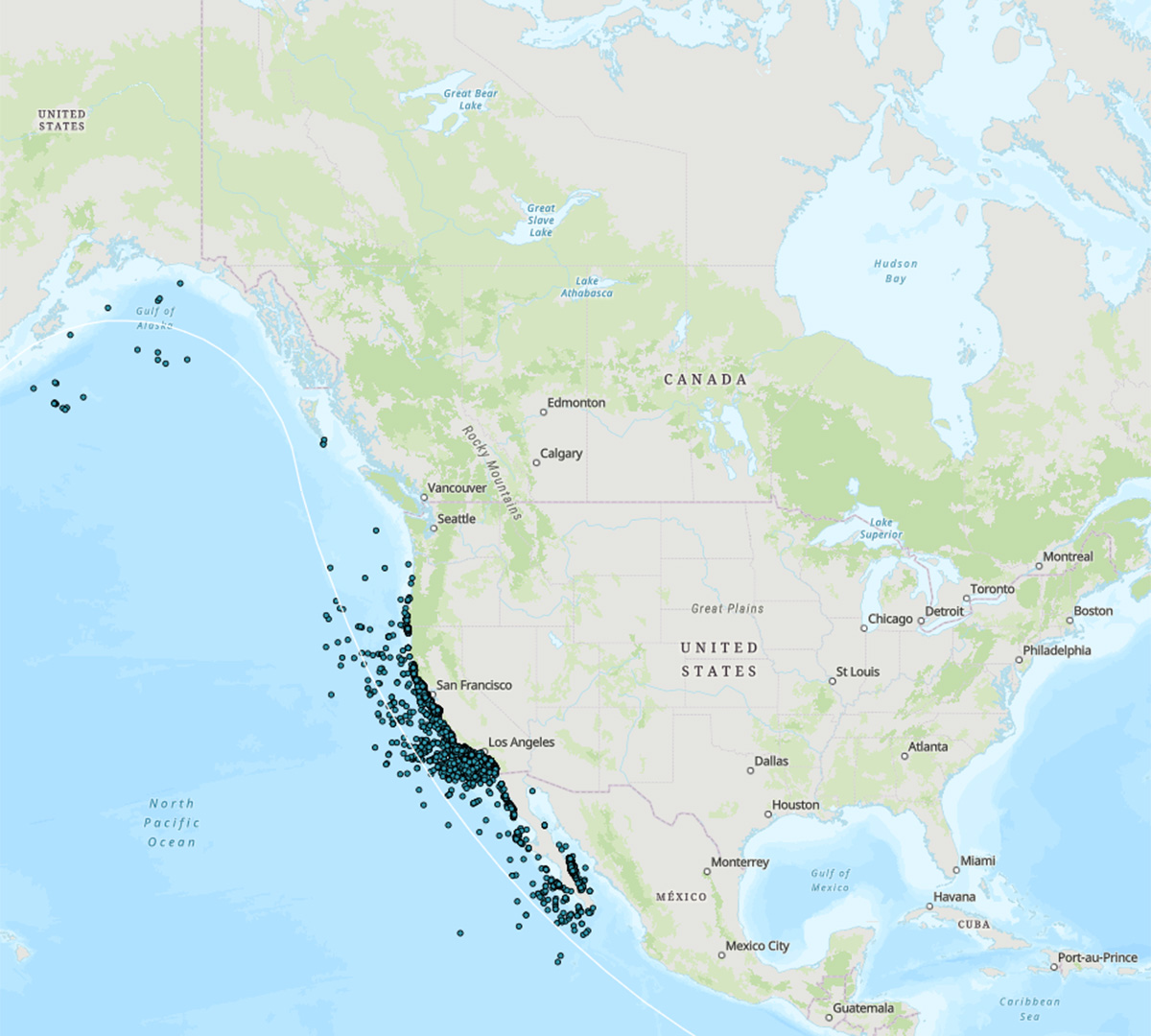
It’s #MapMonday! Did you see a monarch butterfly recently? Nearly 2,000 individuals across Canada, Mexico and...
September, 2023
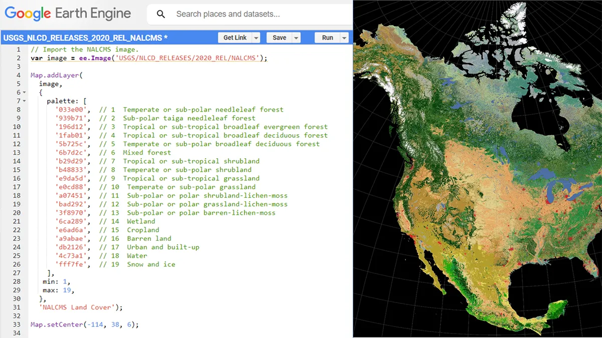
Land Cover
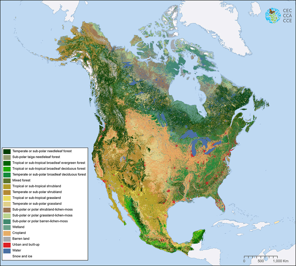
It’s #MapMonday! #DYK that the Commission for Environmental Cooperation’s new North American Land Cover 2020 is now available on...
August, 2023
Land Cover
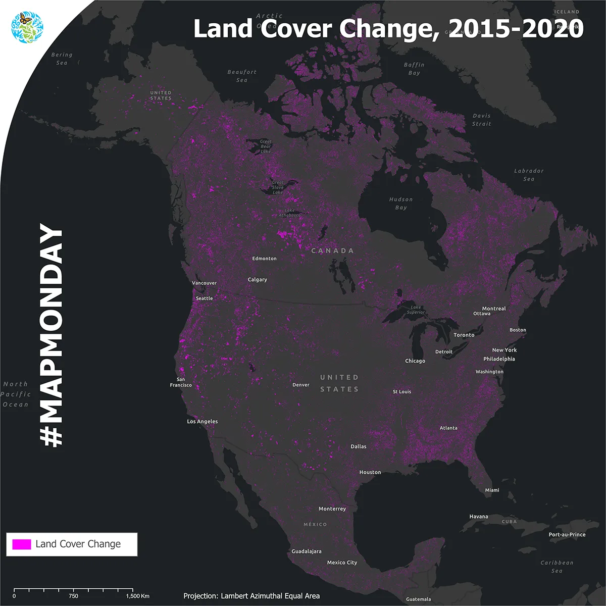
It’s #MapMonday! The Commission for Environmental Cooperation is proud to release the 2015–2020 North American...
July, 2023
Protected Areas, Water
It’s #MapMonday! To celebrate World Ocean Day this week, the Commission for Environmental Cooperation is...
June, 2023
Climate, Ecoregions, Humans
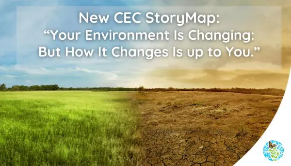
It’s #MapMonday! Check out our new Story Map: “Your Environment is Changing: But How it...
May, 2023
Land Cover
It’s #MapMonday! With about 24 billion pixels depicting land cover across North America at a...
April, 2023
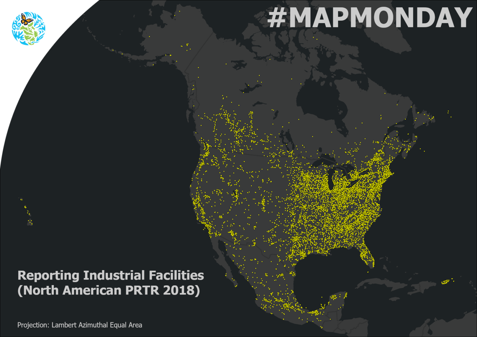
Pollutant Releases and Transfers
It’s #MapMonday! #DYK that approximately 24,000 industrial facilities report their releases (e.g., to air or...
March, 2023
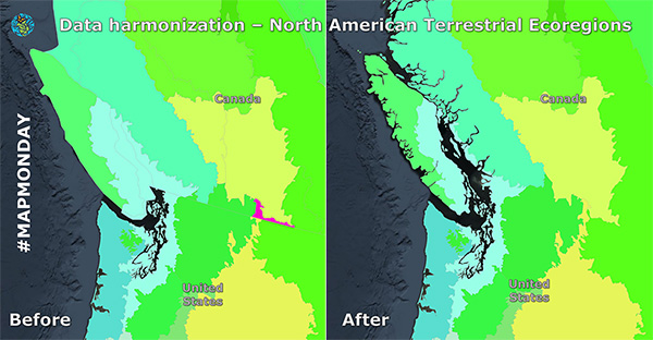
It’s #MapMonday! Today we’re exploring how we take geospatial data from each North American country, which...
February, 2023
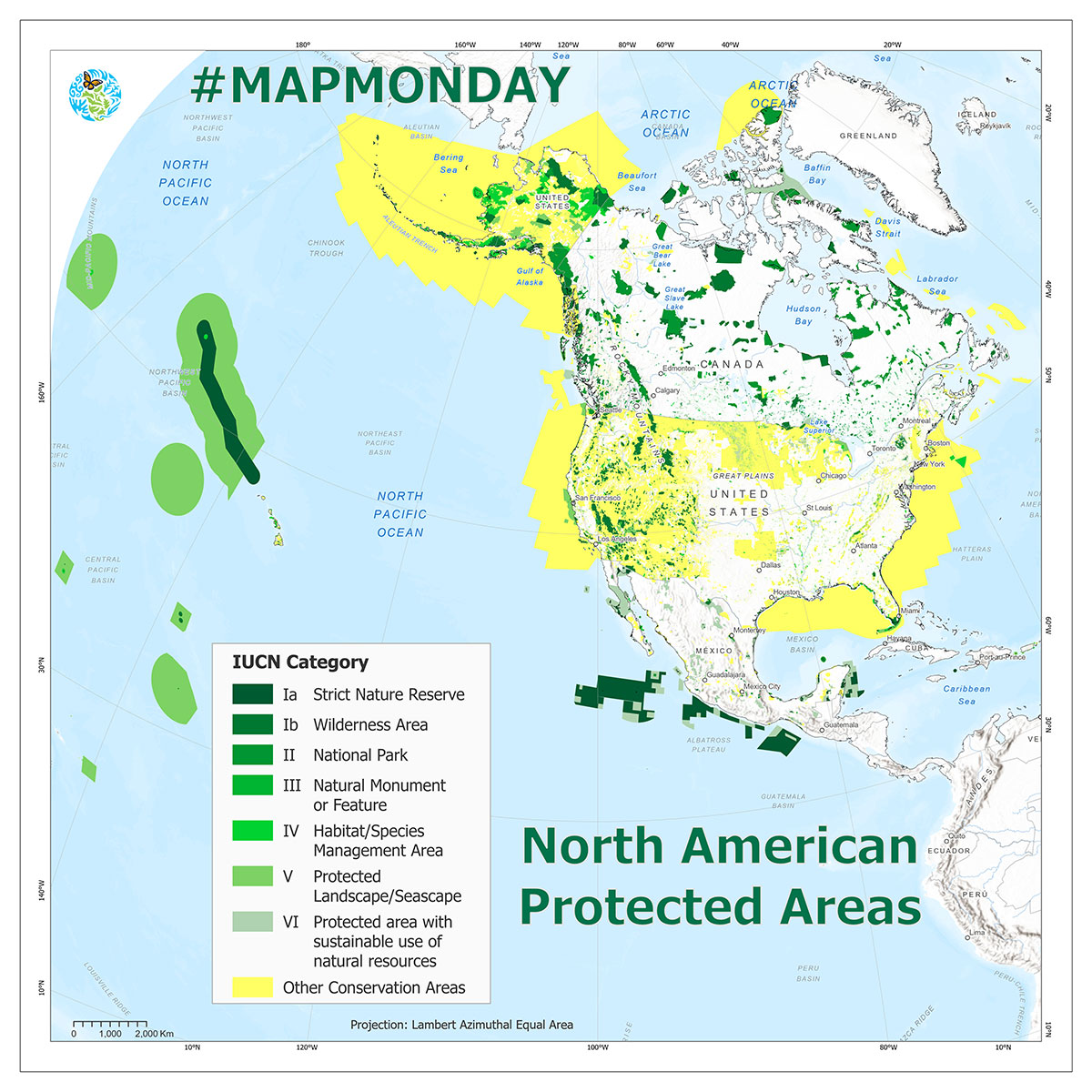
Protected Areas
It’s #MapMonday! Did you know that Protected Areas are a key focus of the Convention...
December, 2022
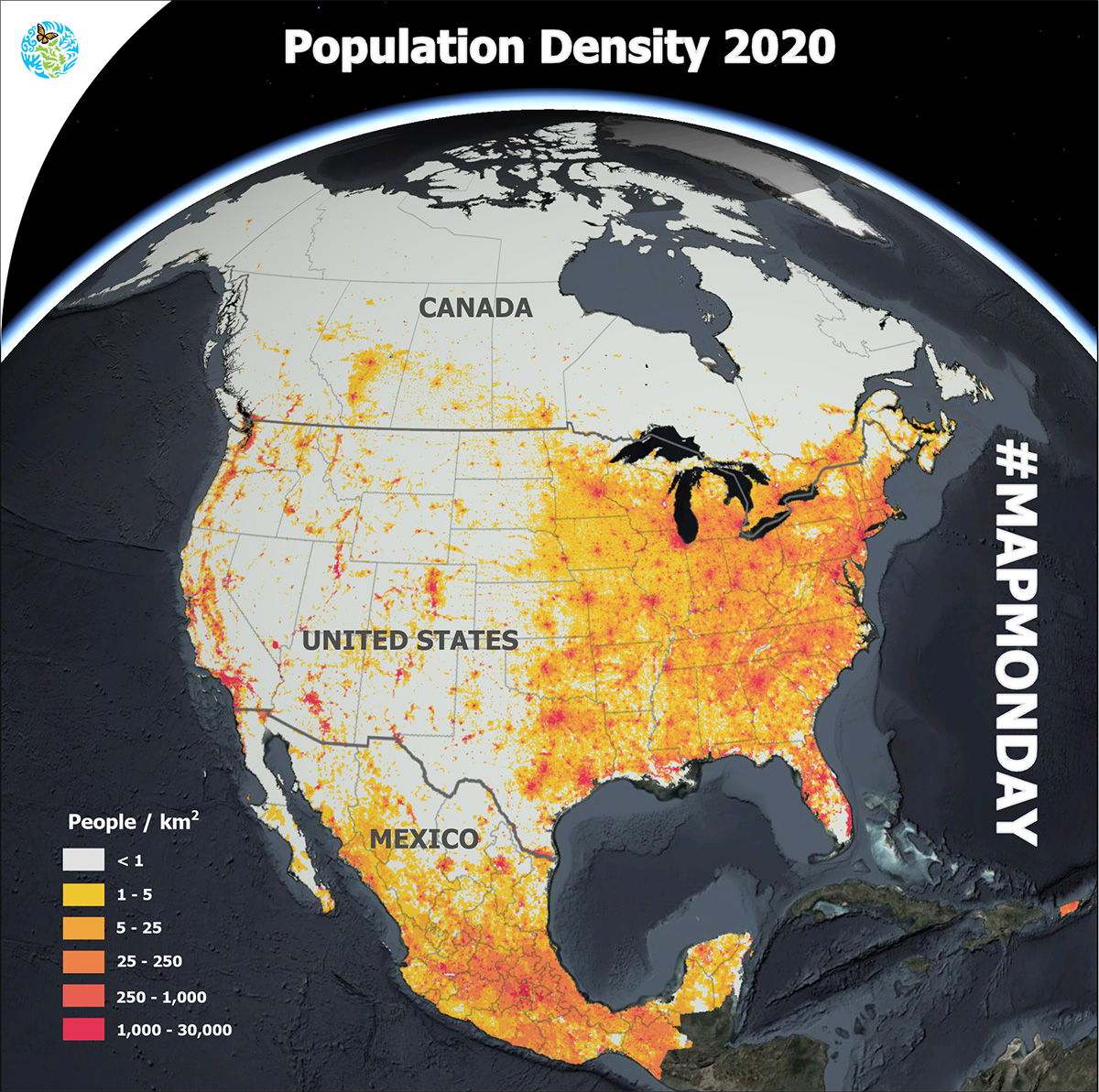
Humans
It’s #MapMonday! This month we’re highlighting population density. How many people per square kilometer are...
November, 2022
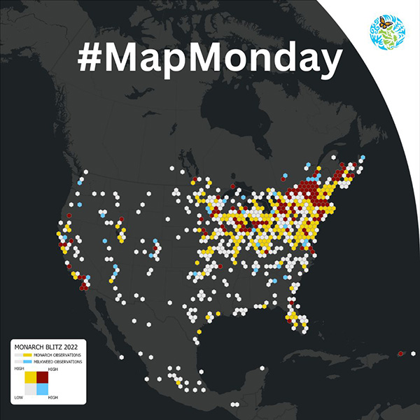
Species
It’s #MapMonday! For today’s MapMonday we’re celebrating the more than 2,600 community scientists who answered...
October, 2022
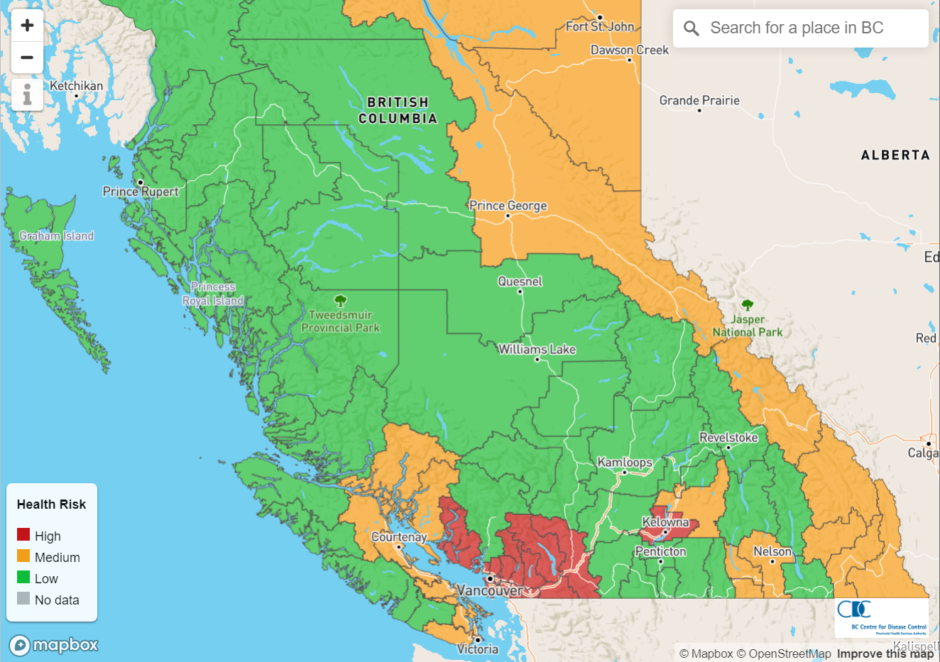
It’s #MapMonday! Every summer North Americans are increasingly facing extreme heat did you know that...
September, 2022
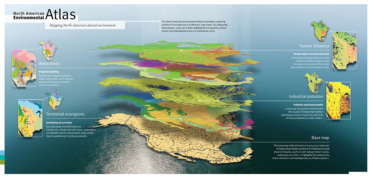
It’s #MapMonday! #DYK that Commission for Environmental Cooperation created the North American Environmental Atlas (NAAtlas),...
August, 2022
Be the first to hear when we publish new GIS data and updates. We promise we won’t send you anything else.
Dominique Croteau
Specialist, Geospatial and Environmental Information
(514) 350-4307