North American Lakes and Rivers, 2023
Map type: Reference
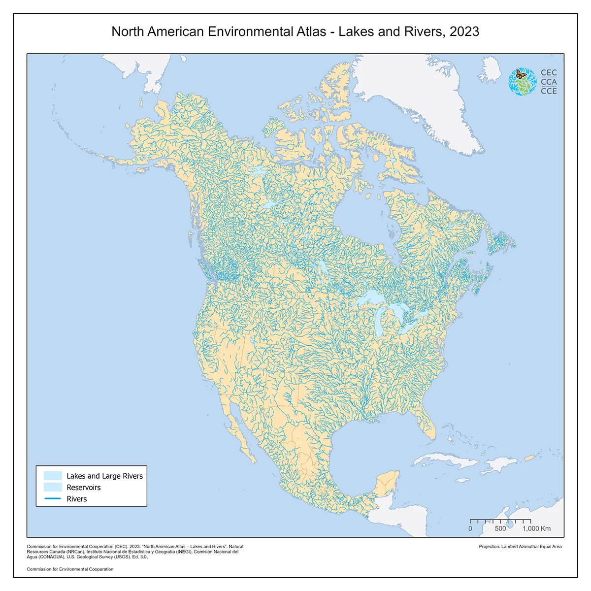
This North American Environmental Atlas dataset displays the coastline, linear hydrographic features (major rivers, streams, and canals), and area hydrographic features (major lakes and reservoirs) of North America at a reference spatial scale of 1:1,000,000.
This current version of the North American Lakes and Rivers dataset supersedes the version published by the Commission for Environmental Cooperation in 2011.
This map offers a seamless integration of hydrographic features derived from cartographic products generated by Natural Resources Canada (NRCan), United States Geological Survey (USGS), Mexico’s National Institute of Statistics and Geography (Instituto Nacional de Estadística y Geografía—Inegi) and National Water Commission (Comisión Nacional del Agua—Conagua).
Contact
Questions about the North American Environmental Atlas? Contact:
Dominique Croteau
Project Lead, Geospatial and Environmental Information