Sign Up to Our Newsletter
Sign up to be the first to hear about our reports, new data and tools on a wide array of North American environmental issues. We will also inform you of workshops, webinars, events, public consultations and our grant program.
SubscribeOn 8 July, Join Our Webinar, What Businesses Need to Know: Circular Economy for a Sustainable Future in North America
June 27, 2025 Sustainable Living and Economies
Our conventional models of living, producing and consuming, are placing an unsustainable strain on our planet. A thriving future demands that businesses must transition toward regenerative systems that support long-term, environmental health. In a circular system, products and materials are cycled back into use through maintenance, reuse, refurbishment, remanufacturing, recycling, or composting. These approaches foster innovation, drive efficiency, and create new economic opportunities and jobs, ensuring environmental benefits together with numerous economic and competitive advantages.
Search
Keywords
Year
Theme
Newsletter
On 25 March, join our open session: Barriers and Opportunities to Support Indigenous-Owned Businesses and Sustainable Trade from Coast to Coast to Coast
Join the McGill Bieler School of Environment (BSE) and the Joint Public Advisory Committee (JPAC) of the Commission for Environmental Cooperation (CEC),...
CEC Celebrates Open Data Day with new publication from its North American Land Change Monitoring System
In celebration of International Open Data Day, the Commission for Environmental Cooperation (CEC) is pleased to release a new publication...
Join Us for the North American Pollutant Release and Transfer Register (PRTR) Initiative Meeting!
Mark your calendar for the Meeting of the North American Pollutant Release and Transfer Register (PRTR) Initiative, hosted by...

Meet Our New Director of Advisory Groups and Public Participation
We are pleased to announce that long-time CEC Secretariat professional Marcela Orozco will be taking on the role...
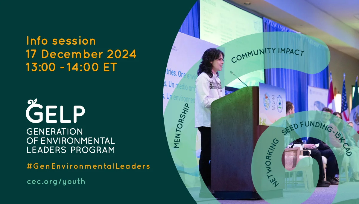
Join Us for the GELP Info Session! #ActNow to Support Communities and Preserve Our Shared Waters, Lands and Air!
If you’re part of a youth-led team (aged 18-35) in North America and eager to help support communities...
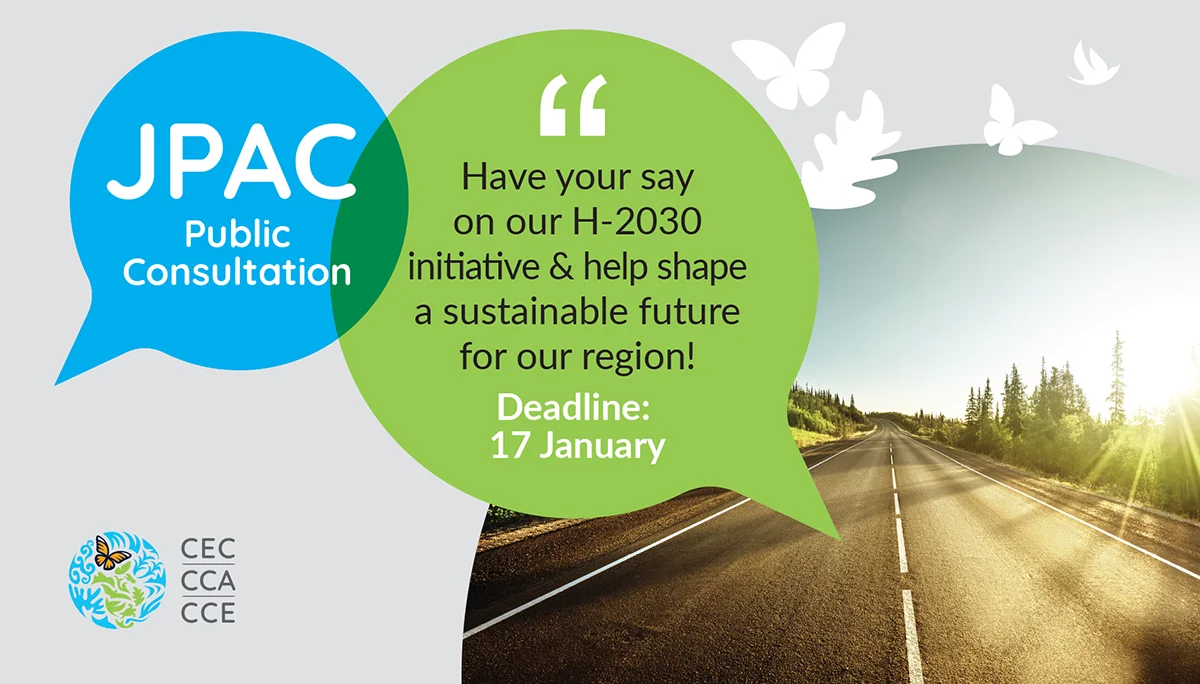
Have Your Say: Public Consultation on the CEC’s “Reaching Horizon 2030” Initiative for North American Environmental Cooperation
The Joint Public Advisory Committee (JPAC) of the Commission for Environmental Cooperation (CEC) is seeking input from individuals and communities across North...
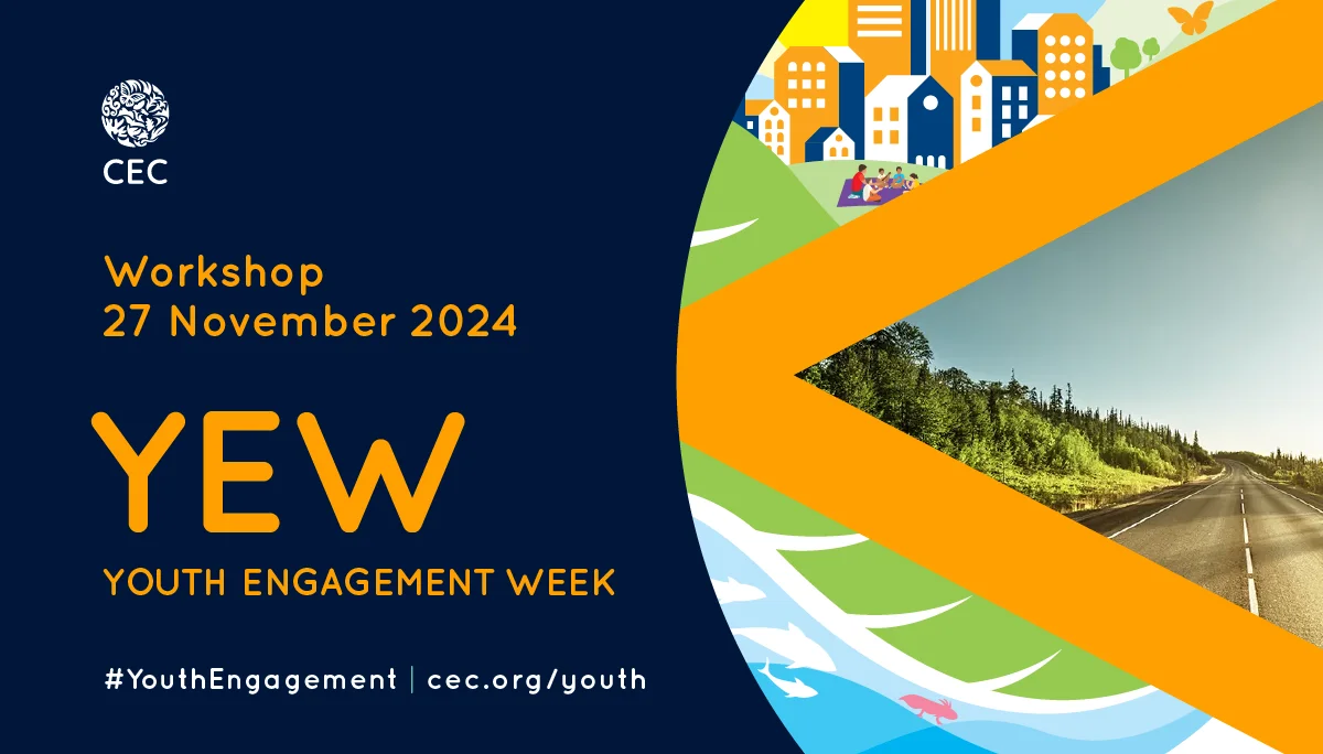
Join the CEC’s 2024 Youth Engagement Week Workshop: Youth Perspectives on Reaching Horizon 2030
On 27 November, participate in the 2024 CEC Youth Engagement Week (YEW) workshop! This event will provide a unique opportunity...
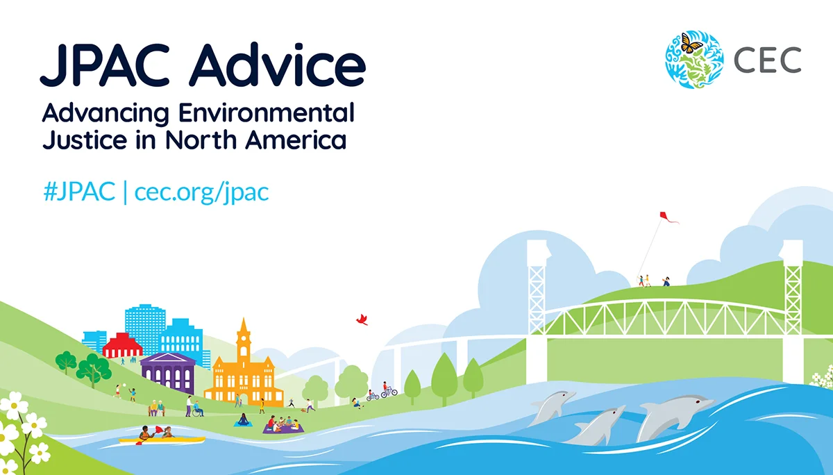
New JPAC Advice on Advancing Environmental Justice in North America
Following the June 2024 Public Forum held in Wilmington, North Carolina, United States on 24 June 2024, the Joint Public Advisory...
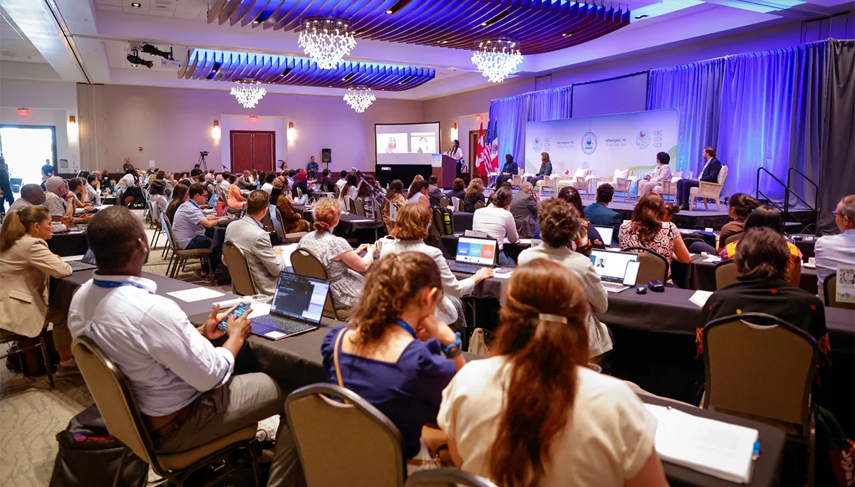
Summer Rewind: Looking back at CEC31 — Event Recordings, Summaries & Photos
We would like to thank everyone who participated in #CEC31 earlier this summer, whether you joined us in...