North American Land Change Monitoring System
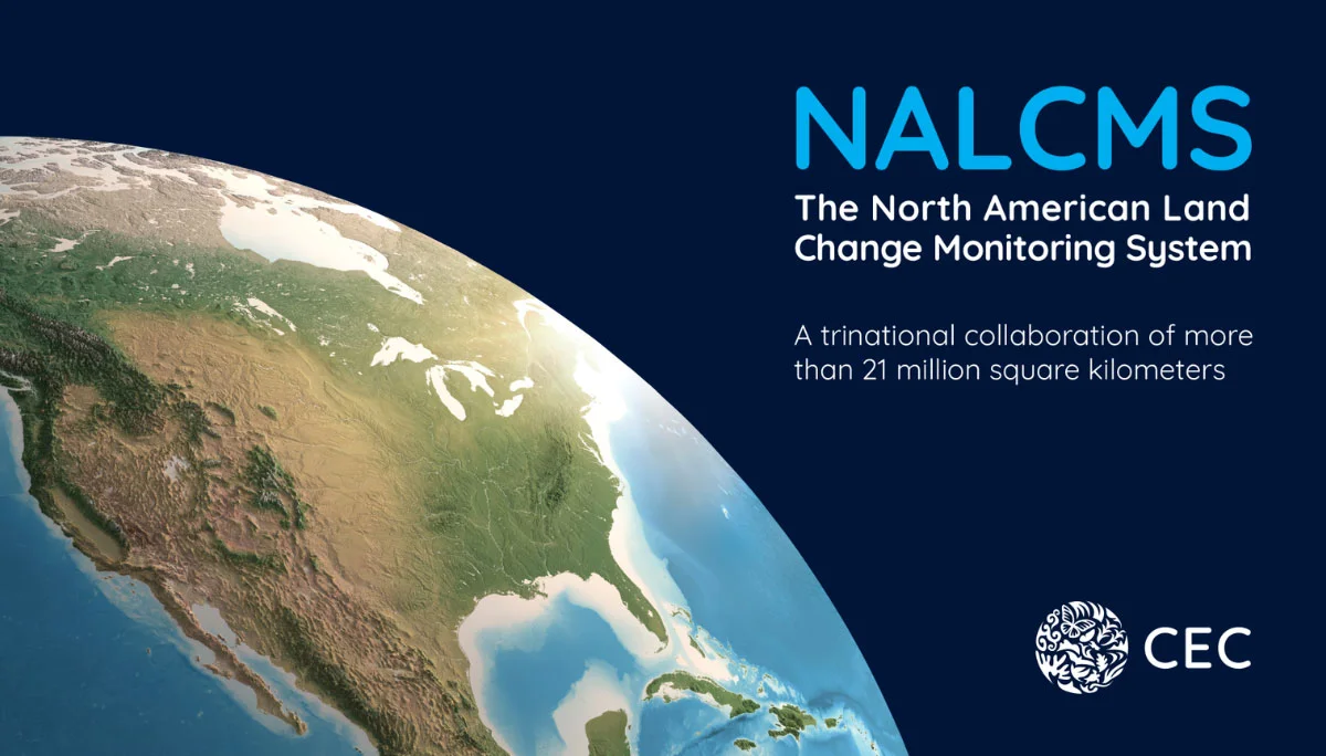
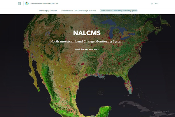
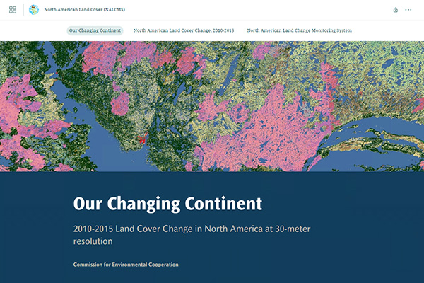
The CEC’s NALCMS is a collaborative initiative that monitors land cover in North America and its changes over time. Land cover, the classification of surface features such as forests, urban infrastructure, bodies of water or agricultural land, play crucial roles in understanding and managing our environment. By distinguishing natural and human-made features, land cover and land use data support global, regional and local monitoring efforts, resource management and planning activities.
Learn more about the NALCMS initiative in this publication marking nearly 20 years of trinational partnership.
What is NALCMS?
Map Files
All NALCMS land cover products are available in the North American Environmental Atlas
Since its launch in 2006, NALCMS has made its land cover products publicly available through the CEC’s North American Environmental Atlas, a collection of harmonized geospatial data from Canada, Mexico and the United States. These thematic map layers provide a continental perspective on transboundary environmental issues and allow the visualization of such environmental aspects as terrestrial and marine ecological regions, climatic zones, and protected areas of the three countries.
Story Maps
Partner Organisations
The CEC’s NALCMS is a collaborative initiative with Natural Resources Canada (NRCan)’s Canada Centre for Mapping and Earth Observation (CCMEO), the United States Geological Survey (USGS), and three Mexican agencies: the National Institute of Statistics and Geography (Instituto Nacional de Estadística y Geografía—INEGI), the National Commission for the Knowledge and Use of Biodiversity (Comisión Nacional para el Conocimiento y Uso de la Biodiversidad—Conabio), and the National Forestry Commission (Comisión Nacional Forestal—Conafor).
Publications
Contact
Questions about the NALCMS? Contact:
Dominique Croteau
Specialist, Geospatial and Environmental Information
