Indigenous Pathways to Climate Resilience through Geospatial Data
Organization: Alberta Biodiversity Monitoring Institute
The Alberta Biodiversity Monitoring Institute tracks changes in wildlife and their habitats across Alberta, working collaboratively to provide ongoing, relevant and scientifically credible information about their living resources.
Location: Edmonton, Fort McMurray and Hinton (Alberta)
Communities benefiting directly from the project: Lakeland Métis Nation and Foothills Ojibway First Nation.
Country: Canada
Other Organizations Involved: Institute of Prairie and Indigenous Archaeology, Lakeland Métis Nation and Foothills Ojibway First Nation.
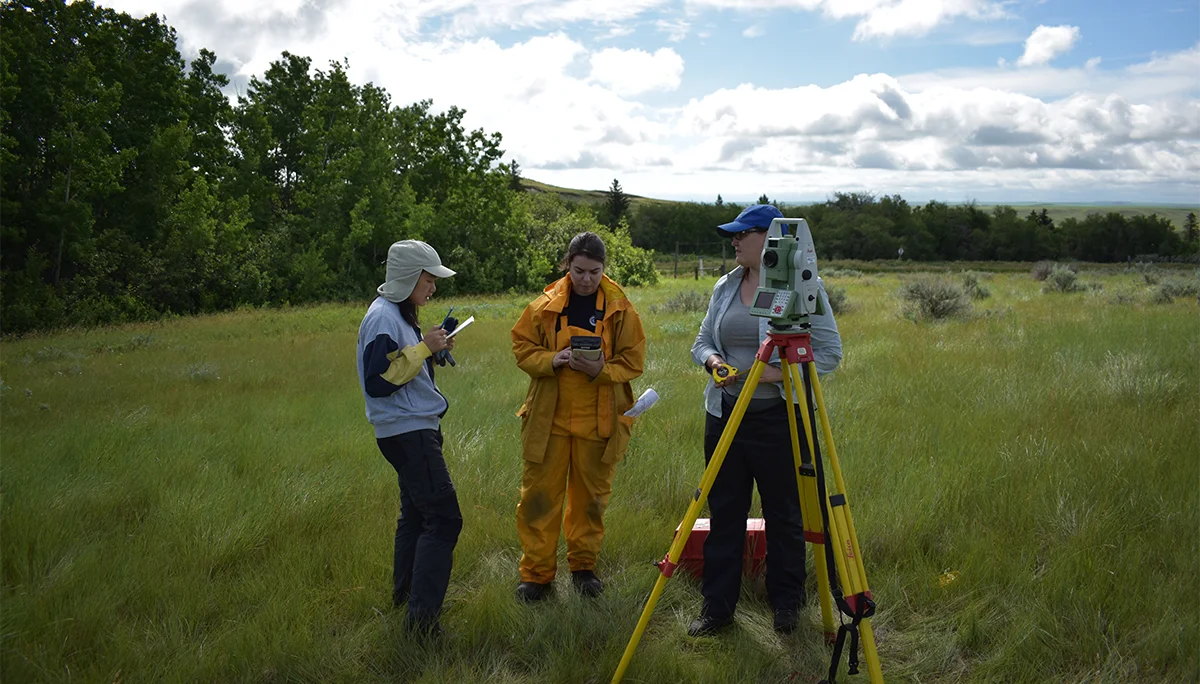 @ Stephanie Halmhofer
Background
Increasingly, high-quality geospatial data are being collected to support land management initiatives that are related to climate change, but despite the widespread availability of the data, Indigenous communities face substantial barriers in using these tools. Simply allowing communities to download data does not address real economic, cultural and technological barriers, or inequity. One of the most substantial barriers to equitable participation in land management and climate change adaptation planning is understanding how novel data sets can be harnessed to support community interests.
A first-step solution lies in co-developing education programs and creating support systems that empower Indigenous communities to use geospatial data effectively. When communities can manipulate data in ways that align with their interests, they can become more active participants in climate adaptation planning, such as the pressing need to create locally-relevant wildfire risk management plans.
Goals
Following a webinar that involved over 20 Indigenous communities, we heard that user guides, workshops and one-on-one support were the best ways to support effective use of geospatial data. They will begin to build these materials by co-developing educational programs with two Indigenous communities to address capacity issues in using geospatial data for climate change adaptation plans, such as wildfire risk management. These materials, approaches and the knowledge gathered will serve as a foundation for broader geospatial capacity-building across multiple Indigenous communities in the future.
Main activities
Their objectives are to:
- Engage two Indigenous communities, the Lakeland Métis Nation and Foothills Ojibway First Nation, to better understand capacity and be educated in the use of geospatial data for climate change adaptation plans, such as wildfire risk management.
- Create maps for planning and monitoring needs for each community, as much as possible with existing data.
- Co-develop two custom educational programs that will empower community staff and members in the use and application of geospatial data for their own benefit.
- Run the educational programs and provide dedicated technical support for the length of the project, as communities explore and implement geospatial data.
- Work with partner communities to facilitate broad sharing and distribution of knowledge and materials to other Indigenous communities.
Expected outcomes
This project seeks to empower Indigenous communities to leverage big-data tools for climate adaptation planning. However, it may also contribute to additional important initiatives, such as Indigenous-led environmental monitoring, and the re-discovery and preservation of historical sites, including unmarked graves, past settlements and sacred gathering places.