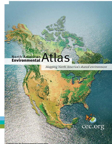
North American Environmental Atlas
Mapping North America's Shared Environment
North American Environmental Atlas
Mapping North America's Shared Environment
Description
At first glance, the maps in the North American Environmental Atlas look no different from maps found on walls across the continent. These maps are unique, however, in that they harmonize geographic information across North America’s political boundaries to depict significant environmental issues at a continental scale.
Through a collaboration of government agencies in Canada, Mexico and the United States and the trilateral Commission for Environmental Cooperation (CEC), the North American Environmental Atlas assembles seamless, accurate geospatial data, including maps, documentation, and interactive map layers generalized at a scale of 1:10,000,000 or finer.
The variety of base and thematic map layers is continuously expanding, providing a foundation to analyze the status of environmental conditions and identify significant trends across North America.
Additional Information
