The K’omoks and Squamish Estuaries — A Blue Carbon Pilot Project
Organization: Comox Valley Project Watershed Society, and the Squamish River Watershed Society
Location:
- Courtenay
- Comox
- Comox Valley Regional District
- District of Squamish
- Squamish Lillooet Regional District
Country: Canada

Background
Eelgrass and salt marsh habitats are recognized for their ability to sequester carbon in marine sediments. In the past century, almost 70% of global eelgrass and salt marsh habitats have been lost due to anthropogenic disturbances, resulting in the loss of an important carbon sink.
Along the Pacific coast, community organizations and local governments are interested in reclaiming shorelines and re-establishing eelgrass and salt marsh habitats. In addition to their aesthetic and economic value as habitat for a variety of fin fish, shellfish, and other organisms, these habitats are also known to sequester carbon at several times the rate of any land-based vegetation system.
The K’moks Estuary is situated on eastern Vancouver Island, British Columbia, Canada, at a latitude approximately 49 degrees North, and covers 2,079 hectares. It is listed as a Class 1 Estuary and ranks third in British Columbia in terms of potential for sequestering carbon.
This project is being carried out to provide a strategy for the identification, mapping, land protection, and establishment of a blue carbon strategy for the K’omoks and Squamish Estuaries so that in years to come, the Estuaries, intertidal zones, shorelines, watercourses, wetlands, and riparian zones will continue to function as a buffer against rising sea levels, climate change, and changing urban and development pressures. There are over 400 other estuaries in coastal British Columbia that would benefit from such a strategy.
Goals
- Complete an estuarine habitat restoration project and estimate resulting carbon sequestration.
- Provide incentive to restore shorelines to make them more resilient to storm surges and climate change.
- Foster greater community involvement and understanding of the environmental and economic benefits of eelgrass and salt marsh restoration.
Main Activities
- Map and identify the major areas in and around the K’omoks and Squamish Estuaries, and through collaboration with the various stakeholders and decision makers develop a long-term strategy to protect, enhance, and restore these lands.
- Map and identify study sites in the K’omoks and Squamish Estuaries, estimate current rates of carbon sequestration, and estimate any increase in carbon sequestration rates over time as a result of restoration projects.
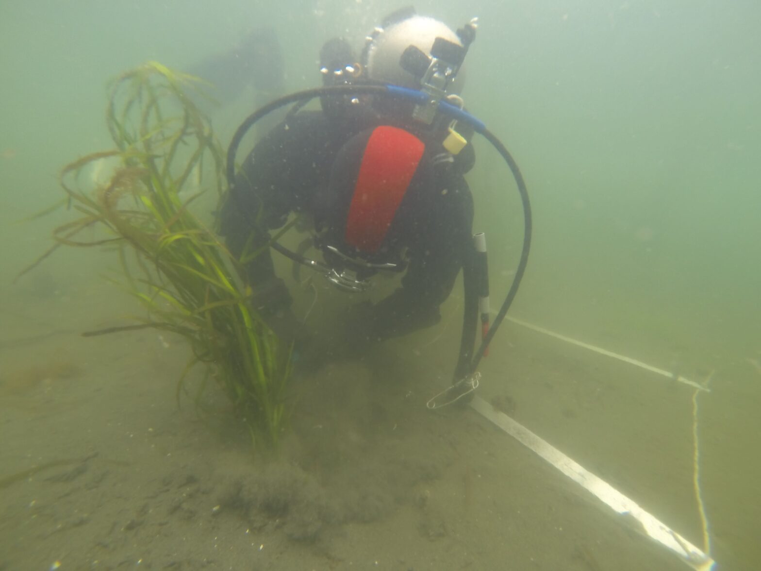
- This project is intended to be community-based and so will involve volunteers from the communities and First Nations in the planting and monitoring of new habitat areas.
Results
- A detailed map of the Squamish Estuary Greenways, including a comprehensive land-use plan that identifies current and future restoration sites, land ownership, and opportunities for future land covenants, acquisition or layers of protection. A collaboration of the land owners and stakeholders to determine best management practices for land-use decisions.
- A protocol to measure the increase in carbon sequestration in estuarine habitats.
- Improved public awareness and appreciation of the environmental and economic benefits of estuarine habitat restoration. Increased critical habitat for a variety of fin fish, shellfish, and other organisms.