Reference
Watersheds
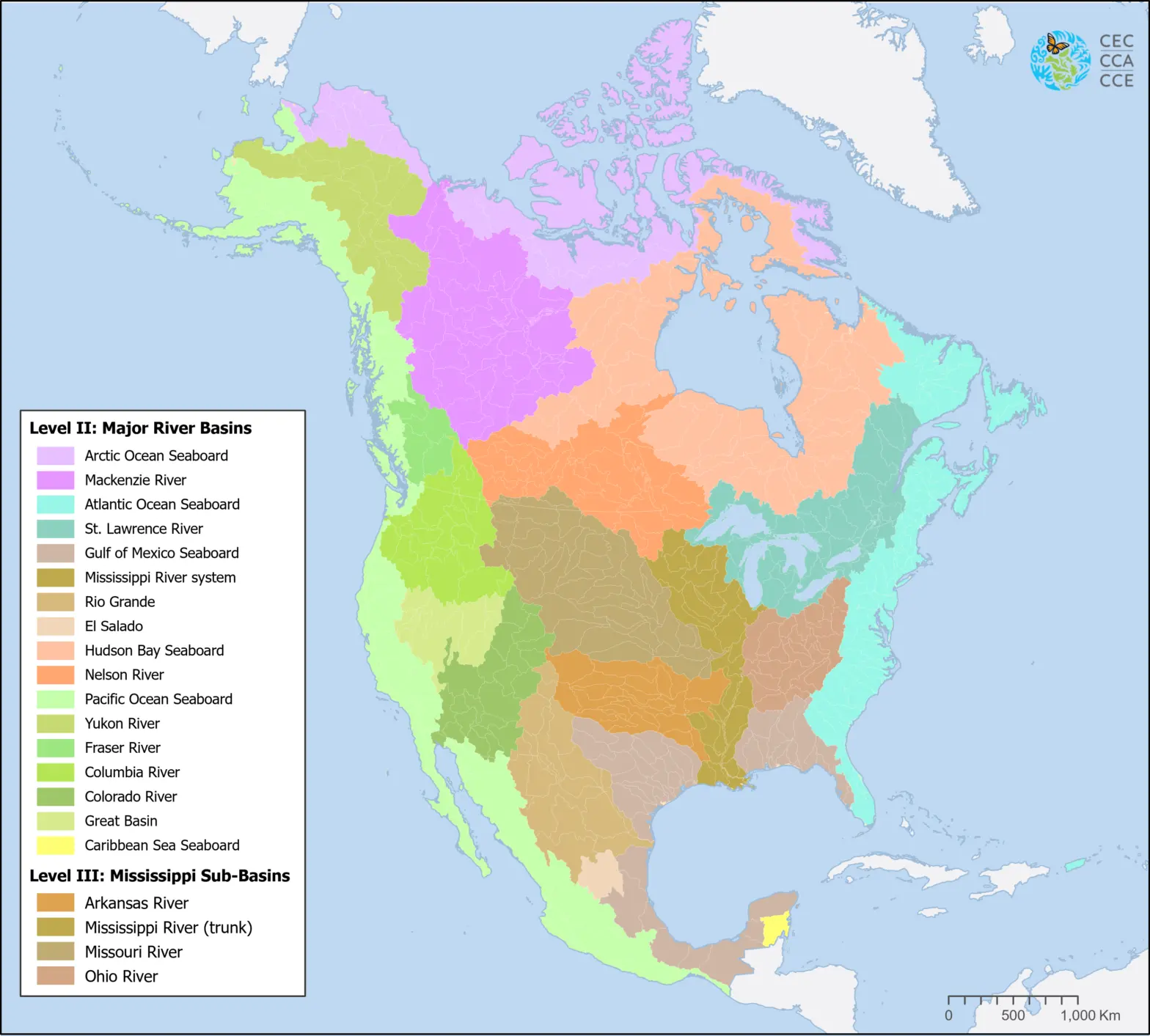
This map shows the major North American drainage basins, or watersheds, which drain into the Atlantic Ocean, Hudson Bay, the Arctic Ocean, the Pacific Ocean, the Gulf of Mexico and the Caribbean Sea.
Each watershed is shown in its own color, with subdivisions shown in tonal variations.
Downloadable Files
Contact
Questions about the North American Environmental Atlas? Contact:
Dominique Croteau
Specialist, Geospatial and Environmental Information