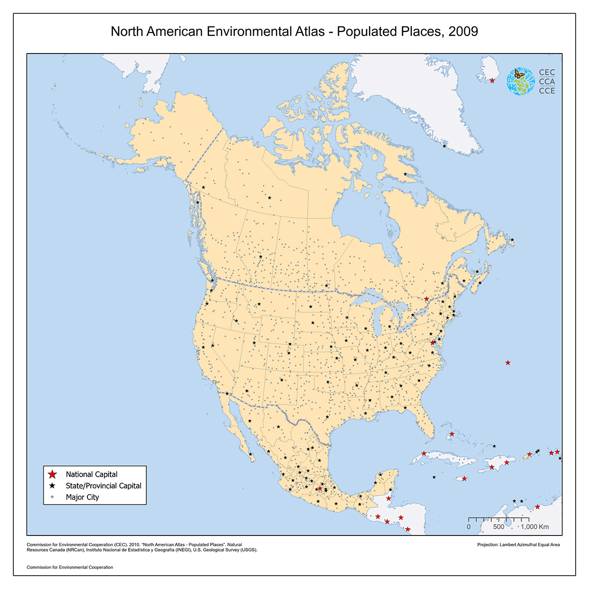
Populated Places, 2009
Map type: Reference
This North American Atlas base layer shows a selection of named populated places suitable for use at a scale of 1:10,000,000.
Places, which refer to individual municipalities, are represented as points. Each point indicates the approximate location of a place, relative to data in the North American Atlas roads, railroads, and hydrography layers.
The selection of populated places was based on local importance (determined by population size), importance as a cross-border point, and, occasionally, on other factors. All capital cities (national, provincial, territorial or State) are included for Canada, Mexico, and the United States of America.
Contact
Questions about the North American Environmental Atlas? Contact:
Dominique Croteau
Project Lead, Geospatial and Environmental Information