Reference
Political Boundaries, 2021
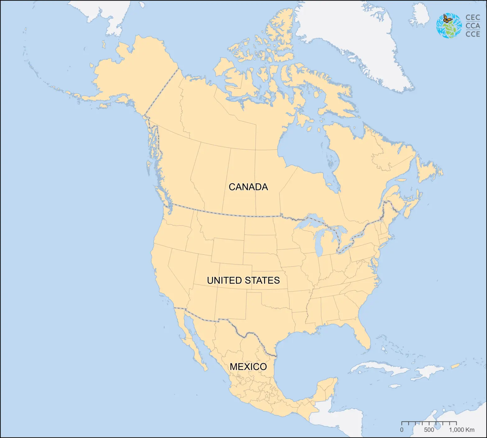
This reference map from the North American Environmental Atlas depicts political entities in North America, with jurisdictional areas represented as polygons and political boundaries, including international boundaries, and provincial, state, or territory boundaries, as lines.
This revised map, which was previously released by the Commission for Environmental Cooperation in 2010, integrates spatial vector information on political boundaries published by each country in 2021. The dataset includes 10 provinces and three territories in Canada, 32 states in Mexico, and in the United States, 48 states and the District of Columbia in the conterminous United States, and also the states Alaska and Hawaii, as well as Puerto Rico and the US Virgin Islands in the Caribbean region.
Downloadable Files
Contact
Questions about the North American Environmental Atlas? Contact:
Dominique Croteau
Specialist, Geospatial and Environmental Information