Bathymetry, 2006
Map type: Reference
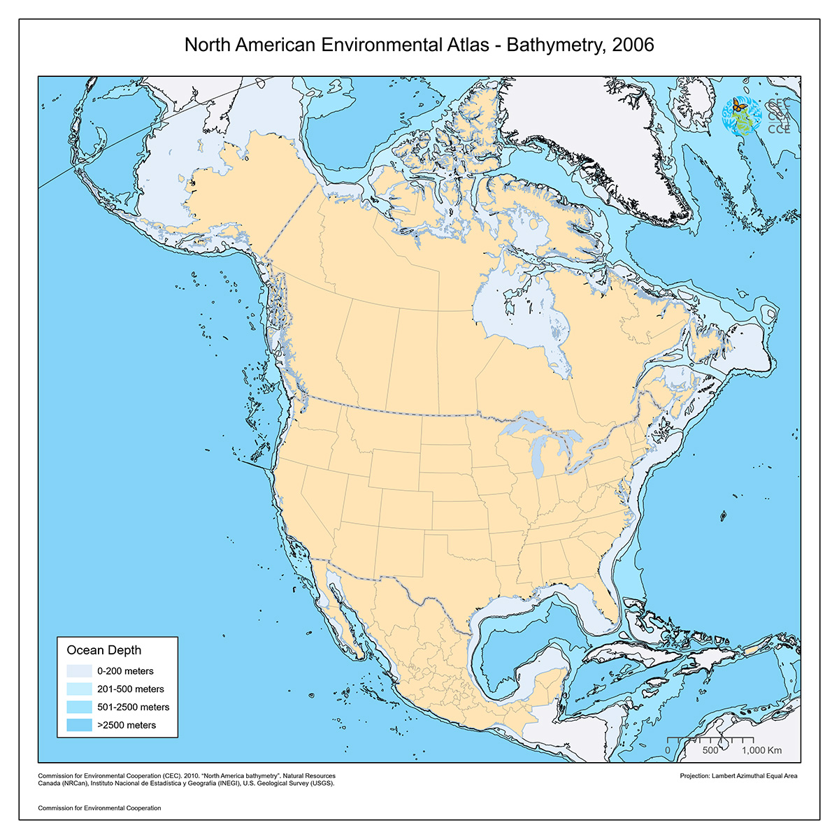
This North American Atlas base layer shows the depth in meters for ocean areas covered by the extent of the North American Atlas.
Isobaths (lines of equal depth) are provided for sea level (coastline, with depth = 1), 200, 500, and 2500 meters. Polygons bounded by these isobaths represent depth ranges of 0-200, 200-500, 500-2500, and greater than 2500 meters.
Contact
Questions about the North American Environmental Atlas? Contact:
Dominique Croteau
Project Lead, Geospatial and Environmental Information