Land cover map of North America at 30-meter spatial resolution released by the CEC
Mapping experts from Canada, Mexico and the United States collaborate through the CEC’s North American Land Change Monitoring System to produce new continental map
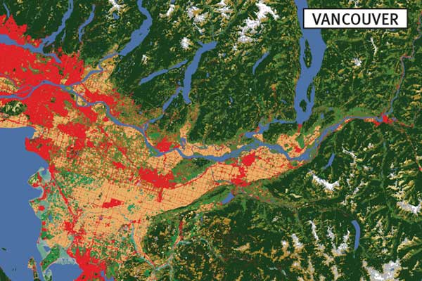
Montreal, 2 November 2017—A new map produced by the trinational North American Land Change Monitoring System (NALCMS) and supported by the Commission for Environmental Cooperation (CEC) depicts year 2010 land cover across North America at 30-meter spatial resolution, representing a significant increase in resolution from the previous NALCMS 250-meter continental products.
Created from a composite of images assembled from satellite observations (Landsat-7), this land cover product was developed through a collaborative effort that applied a harmonized, 19-class land cover classification system for Canada, Mexico and the United States to provide uniform information at a consistent scale for the continent.
This data set will be invaluable to international organizations, nongovernmental conservation organizations, land managers, scientific researchers and others to help them to better understand the dynamics and continental-scale patterns of North America’s land cover at a new spatial resolution that enables both regional and local analysis. To view and download the 2010 land cover 30-meter map at no cost, click here.
North American Land Change Monitoring System
Supported by the CEC, NALCMS is a joint initiative between Natural Resources Canada/Canada Centre for Mapping and Earth Observation (NRCan/CCMEO), the United States Geological Survey (USGS), and three Mexican organizations: the National Institute of Statistics and Geography (Instituto Nacional de Estadística y Geografía—INEGI), the National Commission for the Knowledge and Use of Biodiversity (Comisión Nacional para el Conocimiento y Uso de la Biodiversidad—Conabio), and the National Forestry Commission (Comisión Nacional Forestal—Conafor). Since NALCMS began in 2006, specialists from these government agencies have worked together to devise, through collective effort, a harmonized multi-scale land cover monitoring framework that can be applied across North America with high accuracy, meeting each country’s specific requirements.
The North American Environmental Atlas
NALCMS is part of the North American Environmental Atlas, a CEC tool that brings together maps, data, and interactive map layers that can be used to identify priority areas to conserve biodiversity, track cross-border transfers of pollutants, monitor CO2 emissions across major transportation routes and predict the spread of invasive species. This new 30-meter land cover data set for 2010 is the latest in a series of maps that harmonize geographic information across North America’s political boundaries. Learn more about the North American Environmental Atlas and map North American’s shared environment using our interactive map viewer by visiting www.cec.org/naatlas.
About the CEC
The Commission for Environmental Cooperation (CEC) was established in 1994 by the governments of Canada, Mexico and the United States through the North American Agreement on Environmental Cooperation, a parallel environmental agreement to NAFTA. As of 2020, the CEC is recognized and maintained by the Environmental Cooperation Agreement, in parallel with the new Free Trade Agreement of North America. The CEC brings together a wide range of stakeholders, including the general public, Indigenous people, youth, nongovernmental organizations, academia, and the business sector, to seek solutions to protect North America’s shared environment while supporting sustainable development for the benefit of present and future generations
The CEC is governed and funded equally by the Government of Canada through Environment and Climate Change Canada, the Government of the United States of Mexico through the Secretaría de Medio Ambiente y Recursos Naturales, and the Government of the United States of America through the Environmental Protection Agency.