North American Land Cover 2020 on GEE
It’s #MapMonday! #DYK that the Commission for Environmental Cooperation’s new North American Land Cover 2020 is now available on the Google Earth Engine (GEE) platform?
This gives users access to high-performance computing power in the cloud without the need for large on-site IT infrastructures, increasing accessibility to faster geospatial analyses for all, especially those with limited resources.
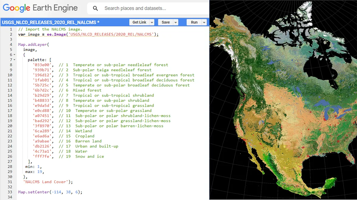
The recently published North American Land Cover 2020 harmonizes land cover classification into 19 comparable classes across Canada, Mexico and the United States. These classes are based on the Land Cover Classification System (LCCS) standard developed by the Food and Agriculture Organization (FAO) of the United Nations.
GEE is a cloud-based geospatial analysis platform freely available for both research and educational purposes.
Check out the North American Land Cover 2020 on GEE