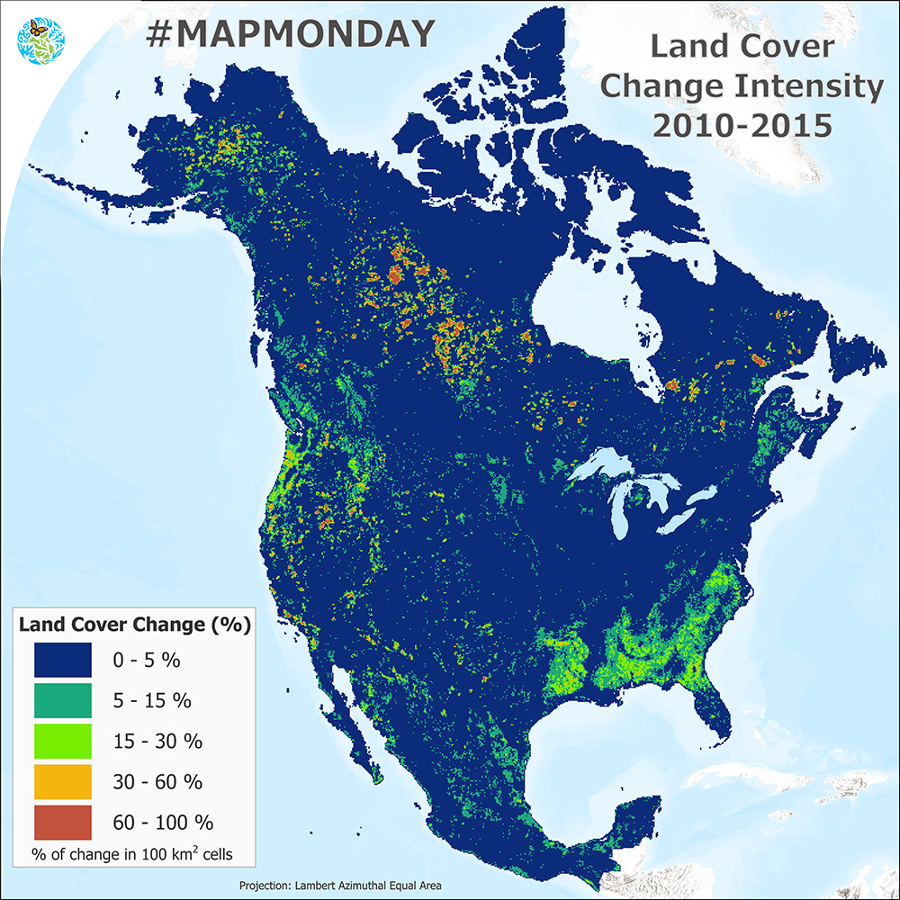
Land cover Change Intensity 2010-2015
#DidYouKnow you can use data from the North American Land Change Monitoring System (NALCMS) for many different applications?
For example, you can calculate the % of land change in 2010-2015 and highlight areas undergoing heavy transformations.
Our NALCMS products can be used for a variety of applications, including:
- Carbon sequestration analysis
- Wildlife habitat mapping
- Ecosystem monitoring
- Environmental planning
- Water quality assessments, and
- Evaluation of biofuels production potential.
The NALCMS’ nineteen land cover classes are based on the Land Cover Classification System (LCCS) standard developed by the Food and Agriculture Organization (@FAO) of the United Nations.
Check out all the data here.