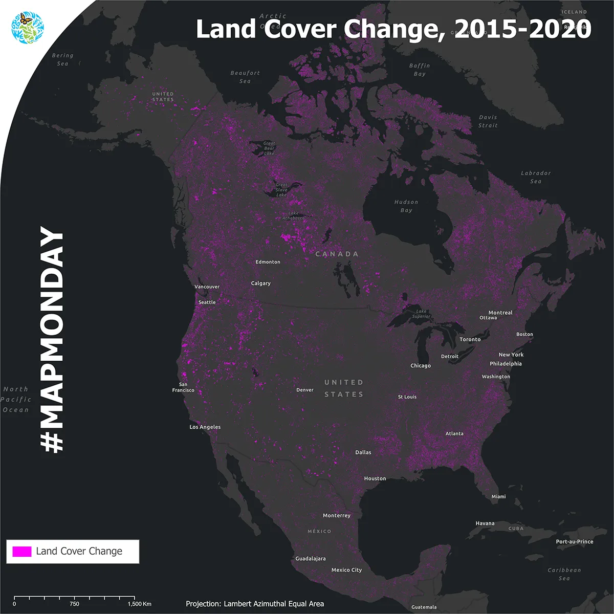
Land cover change, 2015-2020
It’s #MapMonday! The Commission for Environmental Cooperation is proud to release the 2015–2020 North American Land Cover Change NALCMS map layer!
This is produced in collaboration with the Governments of Canada, Mexico and the United States and their respective mapping agencies.
Why is the 2015–2020 North American land cover change product important?
Over time, the cumulative impacts of environmental changes caused by issues like forest fires, resource extraction or the expansion of agricultural, industrial and urban areas can transform our world.
Detecting changes in land cover can help us identify areas where issues like deforestation, biodiversity loss and urban sprawl are occurring.
Large environmental shifts can be observed by satellites and then categorized to show how our environment transforms over time.
For example:
- Forest cover affected by wildfires (e.g., from forests to grasslands or barren lands)
- Agricultural expansion (e.g., from forests or wetlands to croplands)
- Urban sprawl (e.g., from any category to urban areas)
“This product can be used to better protect and conserve critical ecosystems such as wetlands, grasslands and forests. It can help researchers and decision-makers analyze the changes in our shared environment and ecosystems across the continent, and help us see what needs to be done to protect them,” said Dominique Croteau, CEC Project Lead for Geospatial and Environmental Information.
To learn more and check out the maps, visit: https://lnkd.in/eYmtDh48