Groundwater – making the invisible, visible
Today is #MapMonday! This month’s map highlights the World Water Day 2022 theme: “Groundwater – making the invisible, visible”
Groundwater is shaped by both natural processes and human activities. Geology, precipitation, land cover change, agricultural irrigation, and pumping for municipal and industrial usage all play a role in the quality and availability of this natural resource.
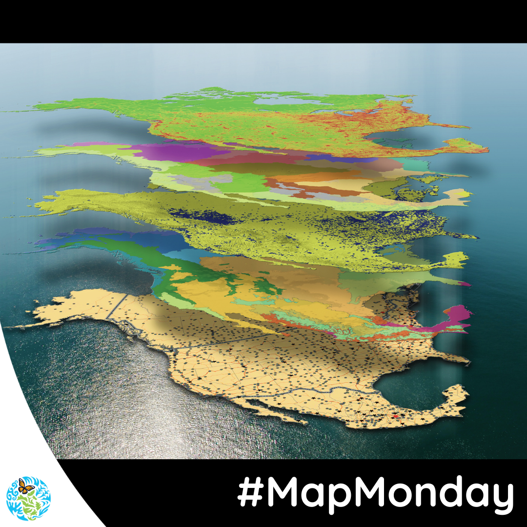
Our North American Environmental Atlas tool combines and harmonizes geospatial data from Canada, Mexico, and the United States to allow for a continental and regional perspective on environmental issues that cross boundaries, such as groundwater systems.
