Data Harmonization
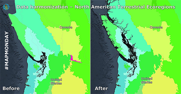
It’s #MapMonday! Today we’re exploring how we take geospatial data from each North American country, which do not always start out as directly comparable, and harmonize it to create a continental map.
Have you ever thought about how geospatial data from multiple countries is processed for proper comparisons?
Created by the Commission for Environmental Cooperation the North American Environmental Atlas combines and harmonizes geospatial data from Canada, Mexico and the United States to allow for a continental perspective on shared environmental issues.
“Data harmonization” is essentially a process of combining and making compatible data from different sources to provide users with a comparable view of data. This ensures a seamless view of our shared North American environment.
Learn more about how our data goes beyond borders.