Atlas WordCloud
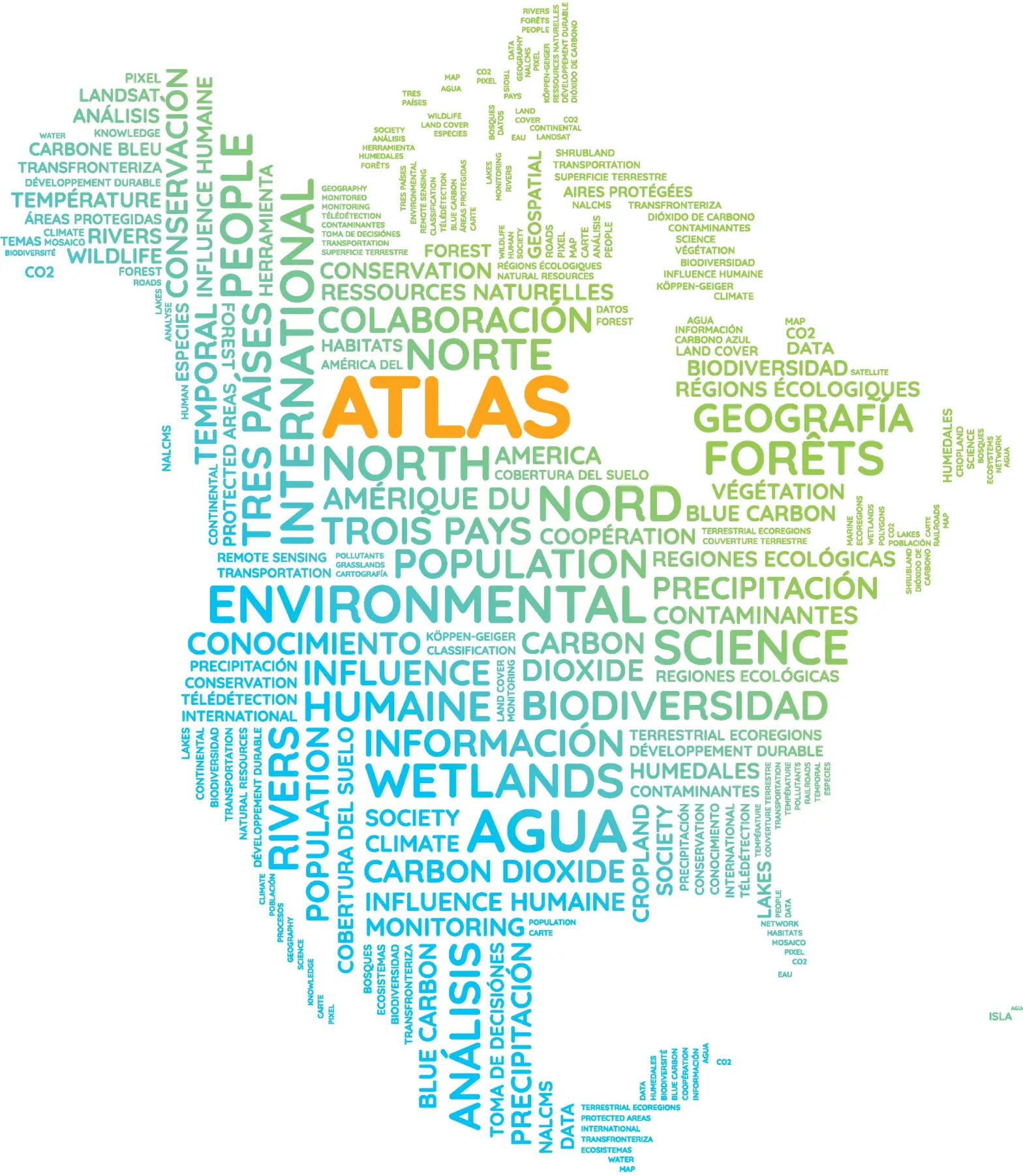
This #MapMonday, dive into the North American Environmental Atlas, a collection of harmonized geospatial data from Canada, Mexico and the United States.
This unique and powerful geospatial tool includes over 50 open access map layers such as land cover, terrestrial ecoregions, climate zones, and watersheds.
By adopting a continental and regional perspective on transboundary environmental issues, the Atlas can help us better understand how our shared environment connects us all and how we can help protect it?
Learn more and explore the Atlas