Aquaculture along the coast of Sinaloa
For today’s #MapMonday, we want to take a minute to talk about how maps tell stories of the connection between the environment and the economy.
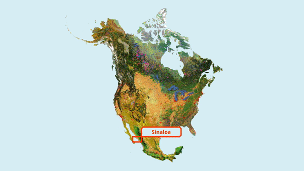
This map, for example, shows land cover change between 2010 and 2015 on the coast of Sinaloa, Mexico, where 60% of all of Mexico’s shrimp production takes place. Large areas have been artificially flooded to make way for shrimp aquaculture, impacting coastal ecosystem structure, especially near bays and estuaries.