Free public workshop: Visualizing North America’s Changing Environment
Imperial Ballroom, Denver Grand Hyatt, 1750 Welton Street, Denver, Colorado
United States
April 13, 2013
Public
This event will be conducted in English only.
Join Dr. Karen Richardson, Program Manager at the North American Commission for Environmental Cooperation, for a two hour workshop from 9:30-11:30am on how to use free maps and geospatial data to better understand place-based environmental issues, from industrial pollution to biodiversity conservation, by visualizing environmental change across our continent.
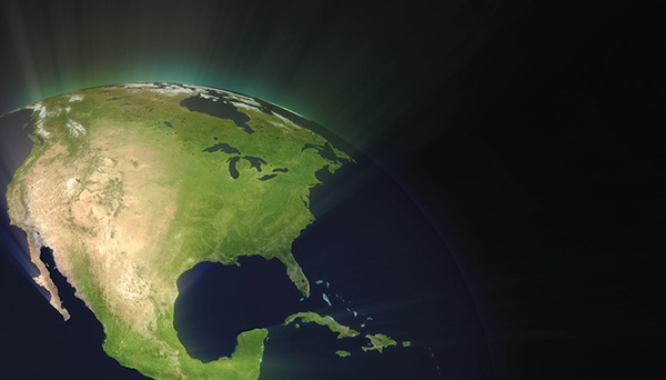
The Commission for Environmental Cooperation’s (CEC) North American Environmental Atlas is a free online mapping tool that contains more than 65 map layers covering Canada, the United States and Mexico. The Atlas layers include changes in land cover such as crops, forests and urban areas, locations of watersheds, marine ecoregions, facilities reporting pollutants, CO2 emissions, protected areas and climate layers.
The workshop will demonstrate the versatility of the Atlas and, in particular, will explore linkages between significant land cover change and vulnerable communities in North America.
Who Should Attend:
High school teachers, community college and university professors and researchers, environmental nongovernmental organizations and others who can use maps to educate, bring about change and tell stories about our environment are welcome to attend.
Workshop materials will be provided but participants are encouraged to bring their own laptops to follow along and work directly with the data.
To register for this free workshop please click here. Please pass on this information on to any and all who may be interested in learning more about how to visualize environmental change on our continent.