North American Blue Carbon, 2021
Map type: Marine Ecosystems
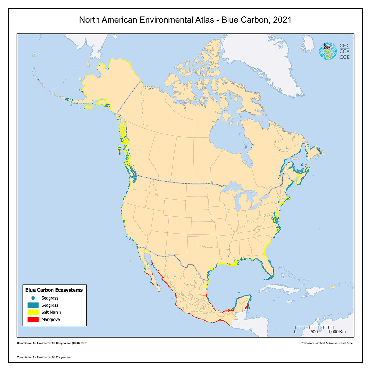
The North American Blue Carbon map shows the distribution of salt marsh, mangrove, and seagrass habitats in North America.
Data were compiled from approximately 50 source datasets, including international (UNEP-WCMC), national (Conabio, US Geological Survey and the US National Wetlands Inventory), as well as state and provincial sources and information from individual investigators. This 2021 release represents the third update to the CEC’s mapping of blue carbon habitats, and was a priority within the Strengthening Adaptation Capacity in Marine Protected Areas project under the CEC’s 2019–2020 Operational Plan.
Although this release presents the most comprehensive picture of North American blue carbon spatial distribution at the time of publication, many seagrass and salt marsh habitats have yet to be mapped and efforts to do so are ongoing, with several pending updates underway. Details on the sources are provided in the attached metadata documentation.